About Maltepe, Istanbul
A district of half a million people on the Sea of Marmara, between Kadıköy and Kartal on Istanbul’s Asian side. Here is what living in Maltepe is like, and what each part of it means when you buy.
- 53km²District area
- 528,544Residents (2022)
- 7kmCoastline on the Sea of Marmara
- 18Neighbourhoods (mahalle)
Where Maltepe is
Maltepe lies on the southern, Anatolian side of Istanbul, along the shore of the Sea of Marmara. Kadıköy is its neighbour to the west, Kartal to the east and Ataşehir to the north-west. The district covers 53 km² and climbs from the coast to hills that reach about 440 metres.
In Byzantine times the area was known as Bryas. For most of the twentieth century it was a place of summer houses and farmland; it grew into a residential district from the 1970s, once the first Bosphorus bridge made the Asian side an easy commute.
The coast
About 7 km of Maltepe faces the sea. Most of it is a long reclaimed coastal park, one of the largest in Türkiye, with a walking and cycling path, playgrounds, cafés and space for fishing off the rocks. On a clear evening the Princes’ Islands sit on the horizon across the water, and ferries run from the coast out to them.
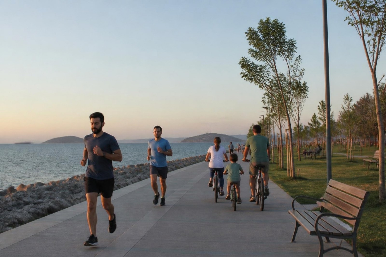
For buyers, the coast explains most of the price differences in Maltepe. A flat with a clear view of the sea and the islands can cost noticeably more per square metre than a similar flat a few streets inland.
Getting around
Two rail lines serve Maltepe, and both run east to west across the district.
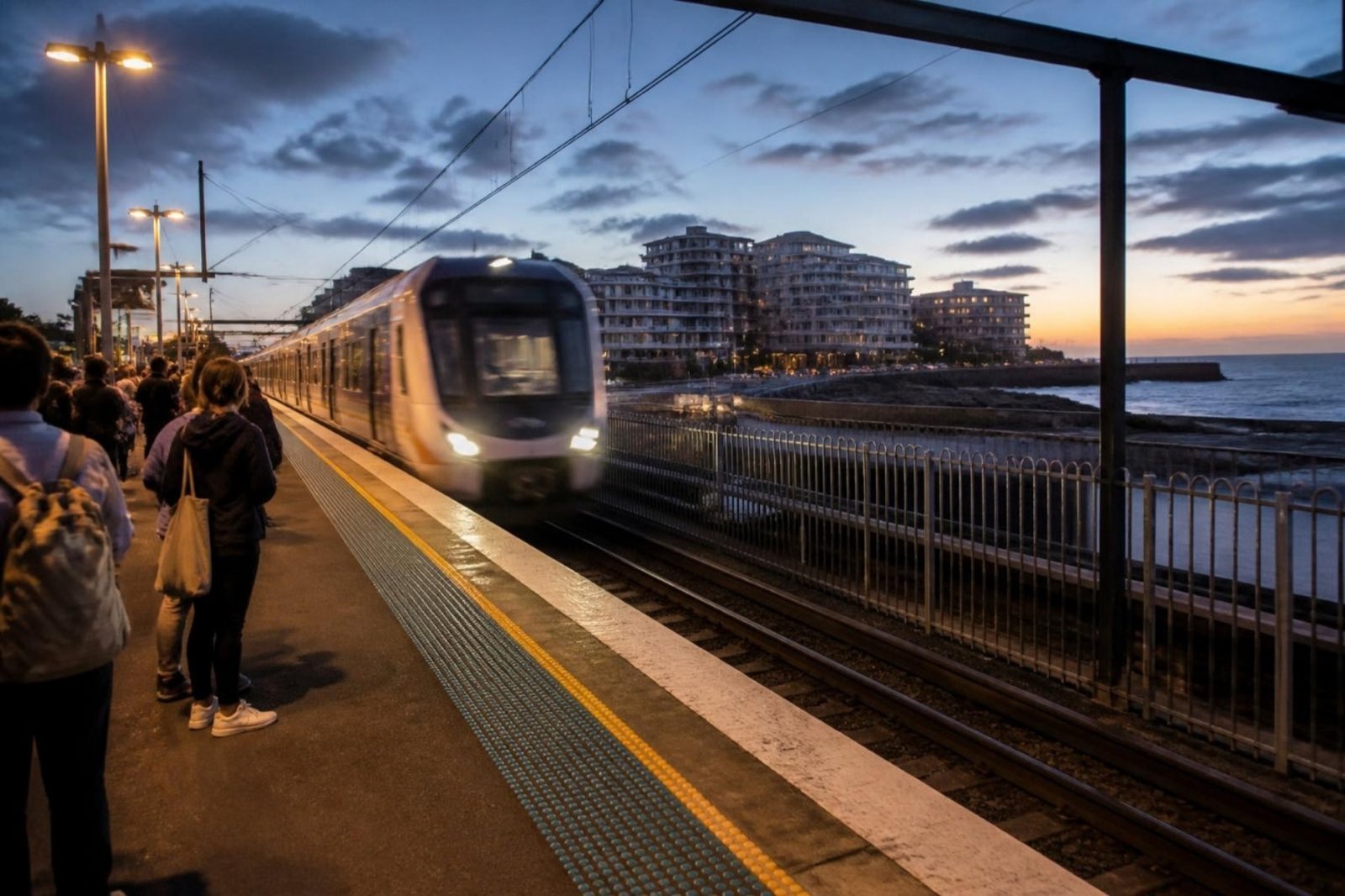
Marmaray Gebze – Halkalı commuter rail, under the Bosphorus to the European side
- Küçükyalı
- İdealtepe
- Süreyya Plajı
- Maltepe
- Cevizli
M4 Kadıköy – Tavşantepe metro, with a branch to Sabiha Gökçen Airport
- Küçükyalı
- Maltepe
- Huzurevi
- Gülsuyu
- Esenkent
Stations inside Maltepe, west to east
Marmaray follows the coast and continues under the Bosphorus to the European side, so central Istanbul is reachable without changing trains. The M4 metro runs beside the E-5 (D-100) highway to Kadıköy in one direction and towards Sabiha Gökçen Airport in the other. By road, the airport is about 20 minutes away.
Neighbourhoods
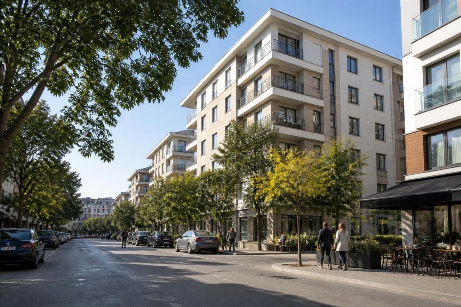
Maltepe is divided into 18 neighbourhoods (mahalle). You will see these names in listings and on title deeds:
- Altayçeşme
- Altıntepe
- Aydınevler
- Bağlarbaşı
- Başıbüyük
- Büyükbakkalköy
- Cevizli
- Çınar
- Esenkent
- Feyzullah
- Fındıklı
- Girne
- Gülensu
- Gülsuyu
- İdealtepe
- Küçükyalı
- Yalı
- Zümrütevler
Küçükyalı, İdealtepe and Cevizli each have a Marmaray station named after them, and Küçükyalı is also on the M4. Gülsuyu and Esenkent, further inland, are served by the M4. Zümrütevler is the most populated neighbourhood on the whole Asian side of Istanbul, with about 88,000 residents. On the eastern edge, the Dragos area near Cevizli looks out over the sea towards Kartal.
Daily life
Bağdat Avenue, Istanbul’s best-known shopping street, carries on into Maltepe, and its Maltepe stretch is pedestrianised around Maltepe Square, a civic space with shops, restaurants and cultural venues that opened in 2024. The Republic Mosque, opened in 2001 and modelled on the Blue Mosque, is a local landmark.
Everyday shopping, schools, hospitals and gyms are spread across the district rather than concentrated in one centre, so most residents have what they need within walking distance or a stop or two on the metro.
Where to buy in Maltepe
The E-5 highway splits the district, and the side you choose shapes the home you get.
Coast side, south of the E-5
Older and newer blocks within walking distance of the park and Marmaray. The best sea views, and the highest prices per square metre.
Along the E-5 and the M4
Towers and managed complexes beside the metro, with sea views from the upper floors. Popular with commuters and with buyers who plan to let.
The hills, north of the E-5
Quieter streets and more floor space for the money. Check how far the nearest M4 station is before you commit.