Getting around Maltepe: Marmaray, the M4 metro and the coast road
Two rail lines, a highway and a ferry pier: how getting around Maltepe works, and why it should shape where you buy.
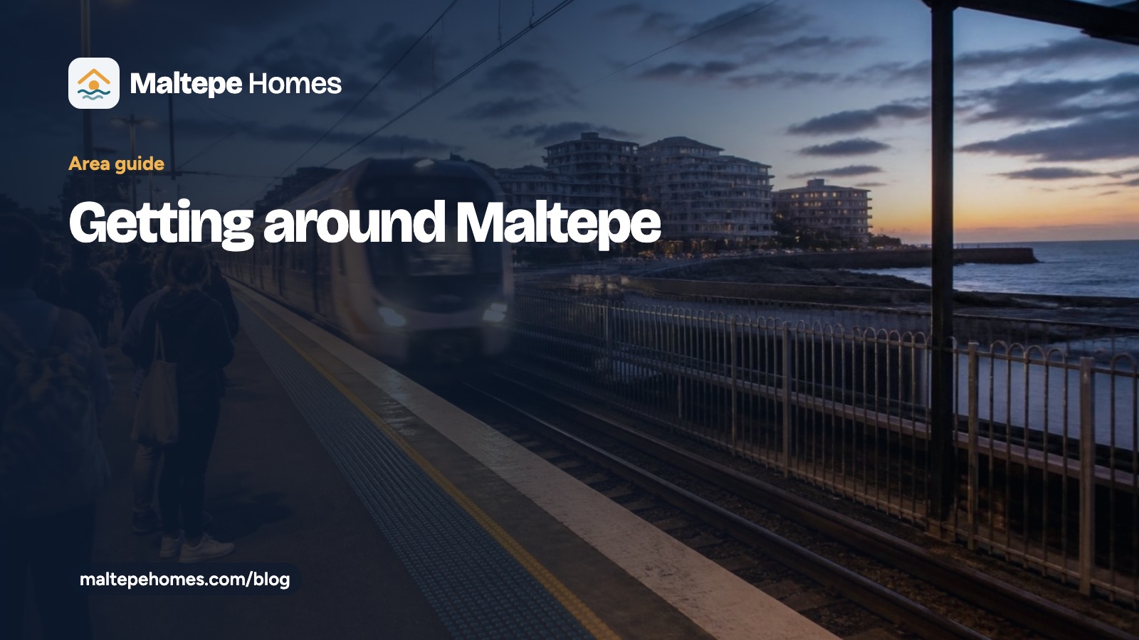
Ask anyone who lives in Maltepe what they like about it and transport comes up quickly. The district has two rail lines, a highway and a ferry pier, which is unusual for a residential area on the Asian side. Here is how getting around Maltepe works in practice, and why it should shape where you buy.
Marmaray: the coastal line
Marmaray is the commuter railway that runs along the Marmara coast from Gebze to Halkalı, crossing under the Bosphorus on the way. Inside Maltepe it stops at five stations, from west to east: Küçükyalı, İdealtepe, Süreyya Plajı, Maltepe and Cevizli.
The big advantage is the tunnel. From a coastal flat in Maltepe you can reach the historic peninsula and the European side without changing trains or sitting in bridge traffic. For anyone working across the water, a short walk to a Marmaray station is worth paying for.
- Trains run frequently through the day, with longer gaps late at night.
- Stations sit south of the E-5, closer to the sea, so they suit buyers looking at the coast side of the district.
- Bostancı, just west of Maltepe, is where many people change to ferries and buses for Kadıköy.
The M4 metro along the E-5
The M4 line runs beside the E-5 (D-100) highway. In Maltepe its stations are Küçükyalı, Maltepe, Huzurevi, Gülsuyu and Esenkent. Heading west takes you to Kadıköy and its ferries; heading east, the line continues towards Kartal and Tavşantepe, with a branch to Sabiha Gökçen Airport.
The M4 is the reason the towers and complexes along the E-5 are popular with renters. A flat a few minutes from an M4 station is easy to let to people who commute to Kadıköy, Ataşehir or the airport.
Where the two lines meet
Küçükyalı and Maltepe have stations on both lines, although the Marmaray and M4 platforms are a walk apart rather than under one roof. If you want both options within reach, look at flats in the streets between the two.
Getting around Maltepe by road
The E-5 highway is the main east–west road through the district and links Maltepe with the rest of the Asian side and the bridges. The TEM motorway runs further north. Traffic on the E-5 is heavy at rush hour, which is why so many residents use the rail lines for work and keep the car for weekends.
Sabiha Gökçen Airport is about 20 minutes away by road outside the busiest hours. Istanbul Airport, on the European side, is a much longer trip, so frequent flyers usually prefer Sabiha Gökçen.
Ferries and the coast
Ferries run from the Maltepe coast to the Princes’ Islands, a favourite weekend trip for residents. The coastal park itself has a long walking and cycling path, so for many people getting around Maltepe on a summer evening simply means following the shore.
What this means when you choose a flat
- Working on the European side? Put a Marmaray station within walking distance at the top of your list.
- Commuting to Kadıköy or Ataşehir? The M4 and the E-5 corridor make more sense.
- Buying to let? Flats near an M4 station tend to rent quickly to commuters and students.
- Want space and quiet? The hills north of the E-5 offer more room for the money, but check how far the nearest station is on foot.
Every listing on our site names the nearest stations where we have them. If you are comparing two flats, send us both and we will tell you how the daily trip from each one actually works.